UN
9 Barley Mow Close
£ 385,000
Description
We don't have a Description for this property.
- Bedrooms
- 3
- Bathrooms
- 0
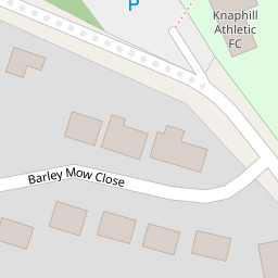
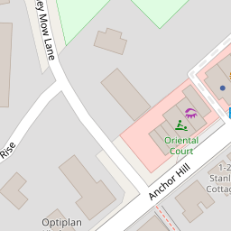

Leaflet © OpenStreetMap contributors
The heatmap indicates the level of crime in the area. The color of the heatmap indicates the crime severity and recency.
Metrics Year-on-Year
- Average area value
- 511,523.00 £Increased by 11.33 %
- Average area rental value
- 2,171.00 £/moIncreased by 5.70 %
- Est rental Yield
- 5.09 %Decreased by 5.04 %
- Crime Rate
- 11.00 %Unchanged by 0.00 %
from 459,464.00 £
from 2,054.00 £/mo
from 5.36 %
from 11.00 %
Nearby Schools
| Name | Type | Ofsted | Distance |
|---|---|---|---|
| Knaphill School | Academy Converter | 1.01 KM | |
| St John'S Primary School And Sure Start Children'S Centre | Children's Centre | 1.09 KM | |
| St John'S Primary School | Academy Sponsor Led | Requires improvement | 1.09 KM |
| St Hugh Of Lincoln Catholic Primary School | Academy Converter | Good | 1.21 KM |
| The Knaphill Lower School | Academy Converter | 1.29 KM |
Images
Nearby Streets
| Name | Average Price | Average Sqft | Distance |
|---|---|---|---|
| Barton Close | £ 0 | 0 | 0.00 KM |
| Elmgrove Close | £ 425,000 | 0 | 0.00 KM |
| Trinity Road | £ 660,000 | 0 | 0.00 KM |
| Oakway | £ 475,000 | 0 | 0.00 KM |
| Oakwood Road | £ 0 | 0 | 0.00 KM |
Nearby Transport
| Name | NLC | TLC | Distance |
|---|---|---|---|
| Brookwood | 5687 | BKO | 3.01 KM |
| Worplesdon | 5686 | WPL | 5.07 KM |
| Woking | 5685 | WOK | 6.42 KM |
| Longcross | 5674 | LNG | 7.46 KM |
| Sunningdale | 5671 | SNG | 8.11 KM |
Nearby Listings
| Address | Price | Type | Score | Distance |
|---|---|---|---|---|
| Knaphill, Woking | £ 600,000 | BUY | 6 / 10 | 0.09 KM |
| Anchor Hill, Knaphill, Woking, Surrey, GU21 | £ 495,000 | BUY | Unknown | 0.19 KM |
| Knaphill. | £ 425,000 | BUY | 6 / 10 | 0.19 KM |
| KNAPHILL | £ 400,000 | BUY | 6 / 10 | 0.22 KM |
| 124 High Street, Knaphill, Woking, Surrey, GU21 2PG | £ 250,000 | BUY | 4 / 10 | 0.25 KM |
Nearby Properties
| Address | Price | Distance |
|---|---|---|
| 18 Barley Mow Close | £ 357,500 | 0.00 KM |
| 10 Barley Mow Close | £ 301,000 | 0.00 KM |
| 1 Barley Mow Close | £ 430,000 | 0.00 KM |
| 19 Barley Mow Close | £ 63,035 | 0.00 KM |
| 8 Barley Mow Close | £ 499,950 | 0.00 KM |